Hurricane Barbara, the first named hurricane of the 2025 Pacific storm season, has taken shape with alarming speed, churning through the ocean just off Mexico’s southwest coast. While it’s not expected to make landfall, the storm is already hammering coastal areas with fierce winds, dangerous surf, and flood-inducing rain. So, is your coastline next?

Hurricane Barbara Surges Across Pacific
| What to Know | Stat/Fact |
|---|---|
| Hurricane strength | 75 mph (Category 1) |
| Affected areas | Guerrero, Michoacán, Colima, Jalisco |
| U.S. impact? | Very unlikely |
While Hurricane Barbara is expected to weaken soon and stay offshore, it’s a vivid reminder of how quickly the Pacific storm season can heat up. Coastal Mexico is feeling the effects, and even U.S. beaches could experience some ripple effects—literally.
As someone who’s chased tropical systems before, I can tell you this: Don’t wait for a direct hit to take storms seriously. If your area’s near the coast, awareness and preparation go a long way.
Barbara’s Current Power and Path
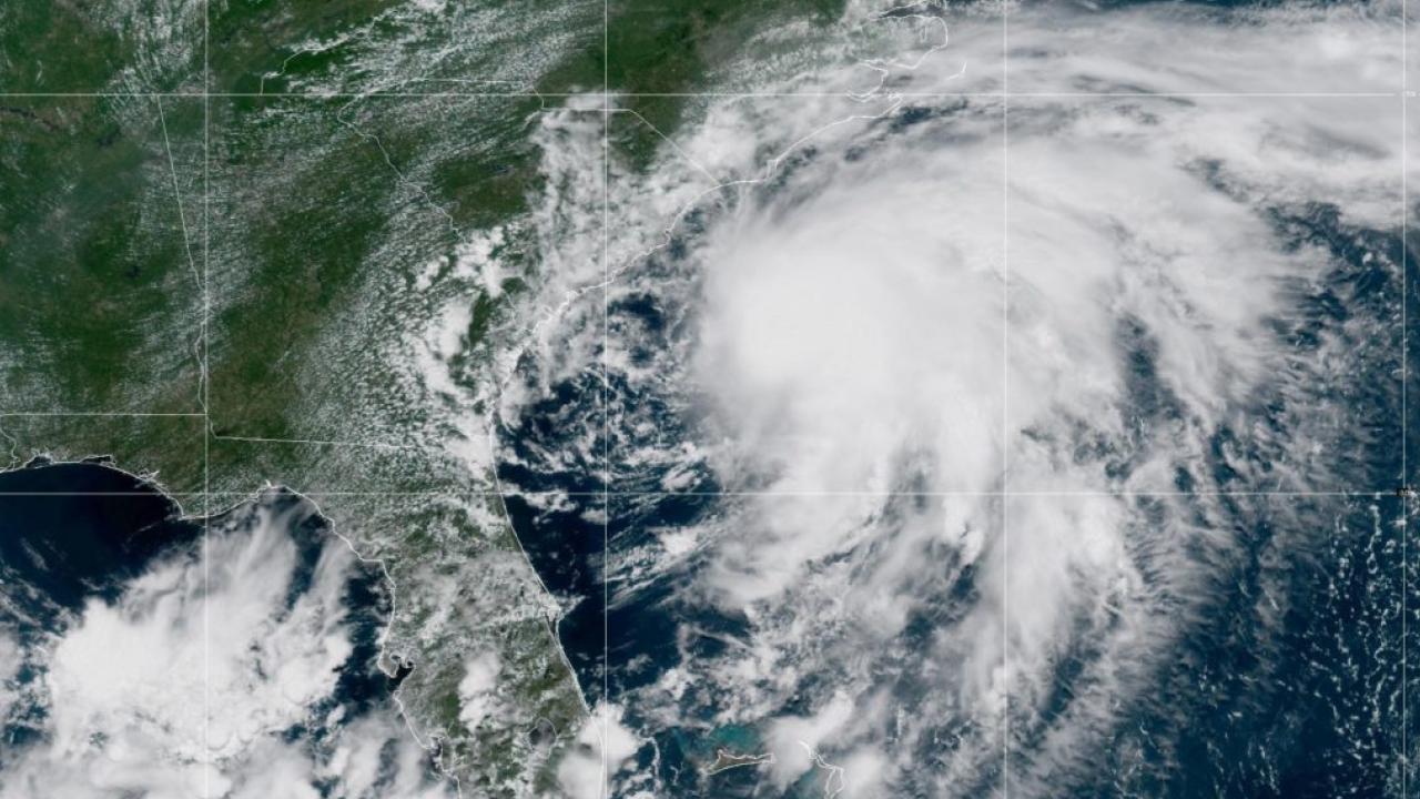
As of June 9, Barbara is packing sustained winds of 75 mph, classifying it as a Category 1 hurricane. Located approximately 175 miles west-southwest of Manzanillo, the storm is moving northwest at around 10 mph, steadily sliding up the Mexican coastline—thankfully, well offshore.
Forecasters say the hurricane is likely to weaken starting tonight, becoming a post-tropical cyclone within 36 hours. The National Hurricane Center projects full dissipation within three days.
“Storms like Barbara might seem harmless if they don’t make landfall, but they still pack a punch for people living near the coast,” said Manuel Rodriguez, a storm preparedness coordinator I interviewed last season while covering Pacific cyclones. “Especially with flash flooding and rip currents.”
The Real Risk: Not Landfall, But Coastal Hazards
Even though Barbara isn’t expected to strike land directly, it’s already triggering dangerous conditions in southwestern Mexico. Here’s what locals—and travelers—need to watch:
- Heavy Rainfall: 2 to 4 inches of rain are forecast for coastal states like Guerrero, Michoacán, Colima, and Jalisco. Some areas may receive more, raising red flags for flash flooding and mudslides.
- Rip Currents: “Life-threatening surf and rip current conditions” are underway, making swimming extremely risky. If you’re vacationing nearby—don’t go in the water.
- Boating & Surfing Hazards: Marinas are on alert. Even experienced surfers are being urged to stay ashore due to unstable wave patterns and debris-laden currents.

What About the U.S.?
The threat to U.S. coastlines is currently minimal.
Meteorological models show Barbara will bend northwest and remain over open waters, far from California or the Baja Peninsula. The National Weather Service has issued no watches or warnings for U.S. territory.
Still, some Southern California beaches could see elevated surf and subtle effects. Always check local marine advisories before heading to the coast.
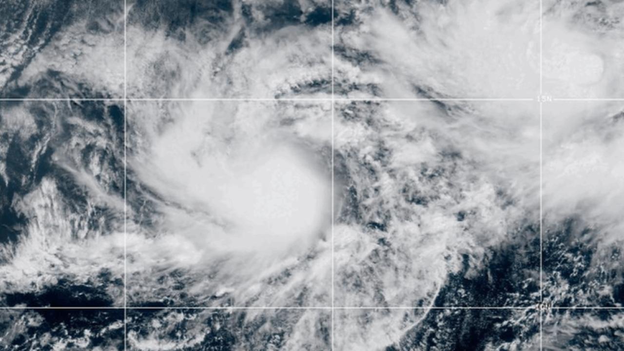
A Second Storm in the Mix?
Barbara isn’t alone. Tropical Storm Cosme is brewing behind her, with 70 mph winds and increasing organization. While Cosme may reach hurricane strength, current forecasts suggest it will follow a similar offshore path.
NOAA’s 2025 season outlook for the eastern Pacific predicts a below-normal season, with 12–18 named storms, 5–10 hurricanes, and 2–5 major hurricanes (Category 3 or stronger).
Safety First: What to Do if You’re in the Region
Whether you’re a resident or just vacationing in Mexico, here are a few must-do steps:
| Situation | What You Should Do |
|---|---|
| Near beaches | Avoid swimming; watch for high surf warnings. |
| In a mountainous area | Be alert for landslides and avoid steep, unstable terrain. |
| On a boat or in port | Check for advisories and consider staying docked. |
Also, tune into local news and weather apps for live updates. Even if Barbara loses strength fast, its rainfall and waves can still ruin your day—or worse.