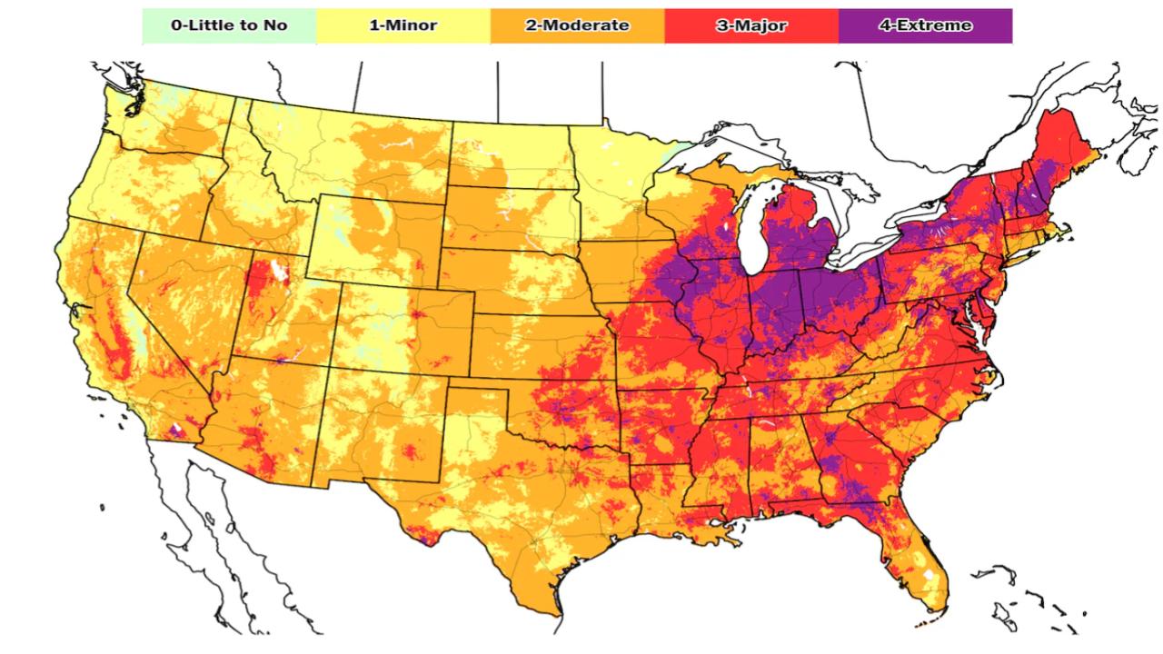
The Bay Area is gearing up for a heat advisory that’s expected to bring some seriously scorching temperatures to the inland valleys and Santa Cruz Mountains. For folks living in these areas, this is not just another warm day — we’re talking record-breaking heat that’s gonna push highs into the upper 90s and low 100s (and in spots, possibly up to 106°F). If you’re in the know about how the Bay Area usually chills out thanks to coastal breezes, this heatwave is gonna feel like a sudden punch.
The National Weather Service has issued an official Heat Advisory in effect from 11 a.m. to 8 p.m. on May 30, 2025. This warning covers key regions including the interior North Bay, East Bay, South Bay, and the Santa Cruz Mountains. Residents should take this seriously, not just for comfort but for health and safety reasons, especially given the added fire risks that dry, hot weather brings.
Heat Advisory Alert
| Highlight | Details |
|---|---|
| Heat Advisory Period | May 30, 2025, 11 a.m. – 8 p.m. PDT |
| Affected Regions | Bay Area Inland Valleys, Santa Cruz Mountains, North Bay, East Bay, South Bay |
| Expected High Temperatures | Upper 90s to low 100s°F, up to 106°F in some inland areas |
| Overnight Lows | Mid-60s°F, minimal relief overnight |
| Fire Risk | Elevated due to low humidity and dry vegetation |
| Health Precautions | Stay hydrated, avoid mid-day sun, check on vulnerable people |
The Bay Area Inland Valleys and Santa Cruz Mountains are facing a serious heat advisory, with temps climbing to levels that can be hazardous if precautions aren’t taken. This heatwave underscores the need for community awareness and individual responsibility — from staying hydrated and cool to watching out for neighbors and pets. Plus, the added fire risk means we all have to be extra careful during these blazing days. Stay smart, stay safe, and keep an eye on official updates as this weather event unfolds.
What’s Driving This Heatwave?
First, let’s break down what’s causing this spike in temperatures. The Bay Area typically enjoys moderate, ocean-influenced weather — cool coastal breezes often keep things comfortable. But right now, a high-pressure system is parked over the region, essentially baking the inland areas with hot air while coastal zones stay cooler.
The Santa Cruz Mountains and inland valleys, like Livermore and San Jose, are shielded from the marine layer that keeps the coastline fresh. This setup lets temperatures climb rapidly — from the usual mid-80s to well into triple digits.
Practical Advice: How to Stay Safe During the Heat Advisory
Now, let’s talk about keeping it cool and safe. These kinds of heat surges aren’t just uncomfortable; they can be downright dangerous if you’re not prepared. Here’s what you need to know to beat the heat:
1. Stay Hydrated — Drink Up
This one’s a no-brainer but often overlooked. The hotter it gets, the more your body sweats to cool down, which means you lose fluids fast. Keep water bottles handy, and aim to drink regularly even if you’re not feeling thirsty. Avoid sugary drinks or heavy caffeine — they dehydrate you more.
2. Seek Air Conditioning or Cool Spaces
If you don’t have AC at home, consider spending peak heat hours (usually between 2 p.m. and 5 p.m.) in public places like malls, libraries, or community centers. This gives your body a break from the relentless heat.
3. Limit Outdoor Activities
If you gotta be outside, try to schedule it for early mornings or evenings when temps are lower. Avoid strenuous work or exercise during peak heat hours.
4. Wear Light Clothing
Opt for loose, light-colored clothes and a wide-brimmed hat to reflect sunlight and help your body regulate temperature.
5. Check on Vulnerable Populations
This heat hits seniors, kids, and those with pre-existing health conditions hardest. Make sure to check in on family members, neighbors, or friends who might need assistance or reminders to stay cool and hydrated.
6. Don’t Leave Pets or Kids in Cars
Even a few minutes in a parked car on a hot day can be deadly. Make sure no little ones or pets are left unattended.
Fire Danger: A Serious Concern
Beyond the heat itself, this advisory raises serious wildfire risk. The Bay Area has seen its share of wildfires over the past decade, and dry, hot conditions with low humidity only ramp up the danger.
- Humidity levels are expected to dip into the teens and low 20s, drying out plants and grasses.
- Vegetation has been dry lately, acting like kindling for potential fires.
- Wind conditions, though not expected to be extreme, may still spread flames quickly.
It’s crucial to avoid activities that might spark a fire — no open flames, no fireworks, and be mindful with equipment like lawnmowers or grills.
What to Expect: Detailed Forecast Breakdown
Here’s a quick rundown of the forecast for some key areas:
San Jose & South Bay
Temperatures will rocket from the mid-80s on Thursday to the upper 90s and low 100s on Friday. The jump will feel intense, especially for those used to cooler Bay breezes.
Santa Cruz Mountains
Places like Ben Lomond and Boulder Creek can expect highs pushing near 100°F, which is unusual for this typically mild region.
North Bay
Cities such as Santa Rosa will also experience highs in the upper 90s, with dry conditions persisting.
Coastal Cities: San Francisco and Oakland
Thanks to marine air, coastal spots will stay cooler — with highs in the 70s — providing a much-needed refuge from the inland heat.
What Happens After the Heatwave?
Good news: this heatwave is expected to be short-lived. By Sunday, temperatures will start cooling down and should return to typical May averages early next week. That said, these spikes serve as a reminder of how quickly weather can shift and why preparedness is key.
Where to Get Reliable Updates?
For ongoing updates, real-time alerts, and detailed forecasts, tune into:
- National Weather Service Bay Area: https://www.weather.gov/mtr/
- Local TV and radio weather reports
- Official city websites and emergency alerts
Frequently Asked Questions (FAQs)
Q1: What exactly does a Heat Advisory mean?
A Heat Advisory means conditions are expected to be hot enough to pose health risks, especially to vulnerable groups, and to require extra precautions.
Q2: How long will this heat advisory last?
The current advisory is in effect from 11 a.m. to 8 p.m. on May 30, 2025.
Q3: Are all parts of the Bay Area equally affected?
No, inland valleys and mountainous areas like the Santa Cruz Mountains will feel the heat more. Coastal cities will stay cooler thanks to ocean breezes.
Q4: What should I do if I or someone else shows signs of heat exhaustion?
Move to a cooler place, hydrate, and seek medical attention if symptoms worsen. Signs include dizziness, headache, nausea, and heavy sweating.
Q5: Can this heatwave increase wildfire chances?
Yes, dry and hot conditions increase fire risk, so avoid open flames and be cautious with fire sources.

